
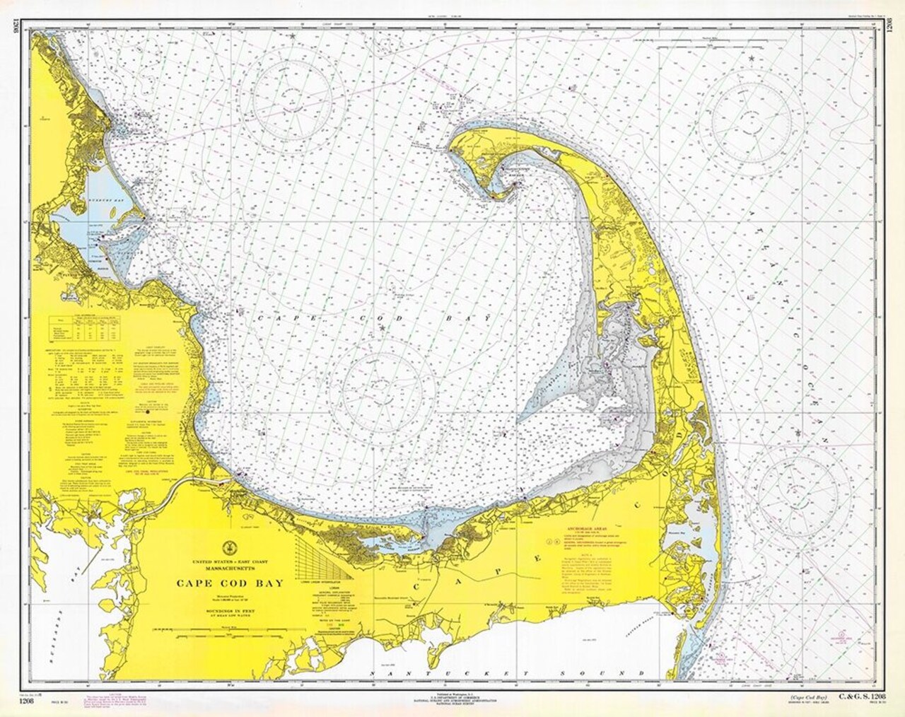
Nautical Chart - Cape Cod Bay ca. 1970 Poster Print by NOAA Historical Map and Chart Collection NOAA Historical Map and Chart Collection - Item # VARPDX450520
Item # 158669693845520388
Share

Nautical Chart - Cape Cod Bay ca. 1970 Poster Print by NOAA Historical Map and Chart Collection NOAA Historical Map and Chart Collection - Item # VARPDX450520
Item # 158669693845520388
Share
We would love to hear from you!